Taipei Grand Trail 臺北大縱走
Section 4 第四段Fengguizui to Dahu Park風櫃嘴至大湖公園
or on to the official end, China University of Science and Technology
- Distance
- about 10 kmabout 18 km for the full official section
- Time
- 4–6 hours7–8 hours for the full official section
- Difficulty
- Moderate, mostly downhillofficial rating
Can I go today? One minibus serves the trailhead, 5–6 times a day.
- First bus up
- 06:10every day, from MRT Jiantan (weekends also 06:30)
- Latest sensible start
- 10:10for the 10 km to Dahu Park, to finish in daylight. For the full 18 km, take the first bus.
- Last bus up
- 17:30every day. Too late to start a walk.
- Last bus down
- Check the live cardNo published time from Fengguizui; buses down match the 5–6 up.
- MRT and Minibus M1
- On foot
- MRT station
- Bus stop
Everything the official site doesn't tell you in English: the one bus that gets you there, how to get back, the 18 km vs 10 km question, and how to claim the certificate in a Chinese-only app.
Facts checked against official sources on 2026-11-20. The route has not been walked for this guide yet.
Is this section for me?
18 km or 10 km?
The official section runs 18 km to China University of Science and Technology, but most hikers stop at MRT Dahu Park after about 10 km, when the mountain part ends. The last ~8 km is city streets, and many people take a bus or the MRT instead.
| Mountain part only (most hikers) | Full official section | |
|---|---|---|
| From | Fengguizui (風櫃嘴) ¹ | Fengguizui (風櫃嘴) ¹ |
| To | MRT Dahu Park Station (捷運大湖公園站) | China University of Science and Technology (中華科技大學) |
| Distance | about 10 km | about 18 km |
| Time | 4–6 hours | 7–8 hours |
| Counts for the certificate? | Yes: all 7 Section 4 check-in “gems” are on the mountain part ² | Yes |
¹ The official site calls the start Fengguikou (風櫃口). It is the same saddle as Fengguizui (風櫃嘴), the name on the bus stop. ² Hiking Biji’s 2026 event guide: no gems between Dagouxi and the university.
Sources, last checked 2026-11-20: official Section 4 page (18 km, 7–8 h; updated 2026-07-29); Smile Taiwan (10 km, 4–6 h); TVBS Health (風櫃嘴 = 風櫃口); Hiking Biji guide (gems).
Numbers and sources
| Full section | Source | |
|---|---|---|
| Distance | about 18 km | Official site |
| Time | 7–8 hours | Official site |
| Difficulty | Moderate (中): for fairly fit hikers | Official site |
| Height range | 25 m to 613 m above sea level | Hiking Biji |
The official site does not give a total climb. Most of the walk goes downhill from Fengguizui to the Dagouxi valley. Another official tourism page (Taipei Travel, 2021) gives 16 km and 6–7 hours, so expect slightly different numbers depending on the source.
Last checked 2026-11-20: official Section 4 page (Chinese); Hiking Biji trail page.
Bus times and live arrivals
Live bus: Minibus M1 市民小巴1
Loading live arrivals…
Updates about every 45 seconds. M1 = 市民小巴1.
Full M1 timetable
Minibus M1 departures from MRT Jiantan (uphill)
| Weekdays (Mon–Fri) | Weekends (Sat–Sun) |
|---|---|
| 06:10 | 06:10 |
| — | 06:30 |
| 10:10 | 10:10 |
| 13:10 | 13:10 |
| 15:40 ¹ | 15:40 |
| 17:30 (last) | 17:30 (last) |
¹ The weekday 15:40 detours via Xishan Elementary School (溪山國小) on the way up, so it reaches Fengguizui a little later.
The ride to Fengguizui takes about 45 minutes. The timetable has only weekday and weekend columns: on a national holiday, check the official route page or the live card on the day.
Last checked 2026-11-20: TDX (MOTC Transport Data eXchange) and the Taipei e-bus M1 timetable; ride time from a hiker's report (September 2026). Google Maps' times on this route are often off.
Check these on the day
- Weather: Central Weather Administration forecasts for Shilin (the start) and Neihu (the finish). Check rain and heat warnings.
- Closures: the trail’s closures are posted by the Geotechnical Engineering Office on its news page (Chinese; look for 臺北大縱走 or 白石湖). Baishihu Suspension Bridge has been closed since the October 2026 typhoon.
- Typhoons: after a typhoon, trails can be closed or very muddy for weeks.
Getting there
- Take the MRT to Jiantan Station (劍潭站, Tamsui–Xinyi Line, red). Leave on the Taipei Performing Arts Center (北藝中心) side; the bus stop is named after it.
- Board Minibus M1 at “MRT Jiantan Sta. (Taipei Performing Arts Center)” (捷運劍潭站(北藝中心)). It is the first stop, so board here to get a seat: the bus can fill up on weekend mornings. One-section fare.
- Ride about 45 minutes to Fengguizui (風櫃嘴). It is stop 33 of 35; the bus continues to Dingshan (頂山), so don’t wait for the last stop.
- Walk to the trailhead: about 550 m along Wanxi Industrial Road, then about 300 m of steps, 10–20 minutes.
Stop names to show the driver
| English (official) | 中文 | Notes |
|---|---|---|
| MRT Jiantan Sta. (Taipei Performing Arts Center) | 捷運劍潭站(北藝中心) | Board here (first stop) |
| Fengguizui | 風櫃嘴 | Get off here. Eastbound side of Wanxi Industrial Rd. |
Last checked 2026-11-20: stop names and fare from TDX and the Taipei e-bus M1 page; walk to the trailhead from Hiking Biji and a hiker's report.
On the trail
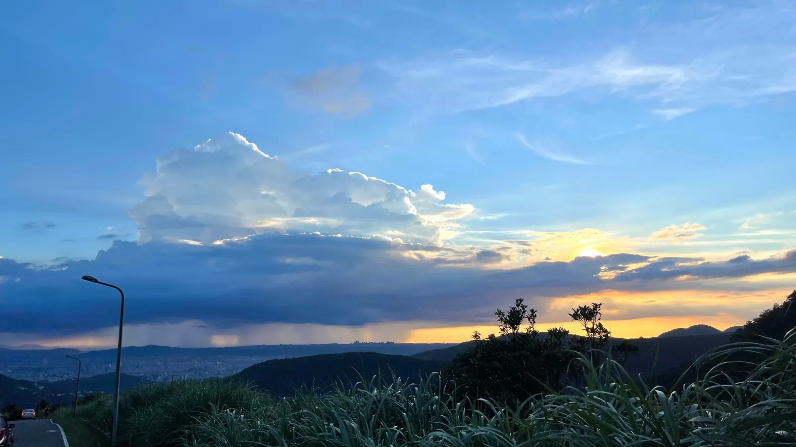
Fengguizui 風櫃嘴
- Shuangxigou Trail 雙溪溝古道
- Baishihu Bridge 白石湖吊橋closed since the October 2026 typhoon
- Yuanjue Waterfall 圓覺瀑布stream water, not drinking water
- Wuzhishan Trail 五指山古道
Toilets and snacks on the way
| Where | Toilet | Food |
|---|---|---|
| Fengguizui and the Shuangxigou Trail entrance | Portable toilets | — |
| Baishihu (白石湖) | — | Farm stalls; strawberry picking December to May |
| Yuanjue Temple (圓覺寺) | Public toilet | — |
| Wuzhishan Forest Park (五指山森林公園) | — | Snack stalls, a 3–5 minute detour |
| Dagouxi park (大溝溪生態治水園區) | Public toilet | Shops once you reach the city |
There is no convenience store until the city.
Last checked 2026-11-20: route order from the official Section 4 page; closure from the Geotechnical Engineering Office; toilets and stalls from a hiker's report (September 2026) and Hiking Biji.
Bail-out points
| Where on the trail | Bus | Goes to | When |
|---|---|---|---|
| Fengguizui (風櫃嘴), the start | Minibus M1, from the westbound stop across the road | MRT Jiantan | 5–6 a day: check the live card |
| Yuanjue Temple (圓覺寺(鯉魚山)) or Bishan Temple (碧山巖(白石湖吊橋)) | Minibus S2 (小2) | MRT Neihu | Weekdays only, no service on weekends or holidays |
There is no published timetable for the M1 going back down from Fengguizui. The bus turns around at Dingshan and comes back, so there are as many buses down as up. Miss one in the early afternoon and you may wait about 2 hours.
Last checked 2026-11-20: TDX; Taipei e-bus S2 page ("例假日停駛").
MRT Dahu Park 捷運大湖公園站
Or on through the city to China Univ. of Sci. & Tech. 中華科技大學: km 18, official end
Getting back
- From Dagouxi park, walk to MRT Dahu Park Station (捷運大湖公園站), about 1 km along Dahu Shanzhuang Street (大湖山莊街), 10–15 minutes. Exit 1 is on that side.
- Take the Wenhu Line (brown) back to the city. This is where most hikers finish.
- Or walk on to the official end, China University of Science and Technology (中華科技大學), another ~8 km of city streets. From the university gate, bus 205 goes to MRT Nangang Station and the Northern Ring Line (北環幹線) to MRT Dahu Park. You can also ride the Northern Ring Line between MRT Dahu Park and the university instead of walking.
Last checked 2026-11-20: Taipei e-bus pages for 205 and the Northern Ring Line (check them for the last bus on the day); walk to the station from Hiking Biji.
If you get hurt or lost, call 119 (fire and rescue, ambulance) or 110 (police). Both can usually connect an English speaker.
More before you go
What to bring
- All your water: there is no drinking-water tap (2 L or more in summer)
- EasyCard (悠遊卡) for the MRT and buses
- Phone with Hiking Biji’s offline map, and a power bank
- Rain jacket; old gloves for roped sections
- Mosquito repellent
- Some cash: farm and snack stalls may not take cards
Certificate guide
The 2026 challenge runs from 26 February to 31 December 2026. You can claim the certificate from 1 June 2026 to 15 January 2027, once per person. There are two ways to prove it; pick one, you can’t mix them.
Way 1: the Hiking Biji app (健行筆記, Chinese only)
- Install Hiking Biji and create an account.
- Join the 2026 Grand Trail event in the app.
- Download the offline map before you go.
- Collect the check-in “gems”: 7 per section, 56 in all. On Section 4 all 7 are on the mountain part, before Dagouxi.
- When you have all 56, fill in Hiking Biji’s online claim form.
Way 2: photos
Take 16 photos of yourself holding the challenge card at the official spots, during the challenge period. On Section 4 the spots are Tongxin Pond pavilion (同心池永結亭) and the guide sign in front of Yuanjue Waterfall (圓覺瀑布). Send them through the official Google Form; paper applications are not accepted.
Claiming
Both claim forms ask for your real name, a national ID number (身分證字號), a phone number and a postal address. The certificate is sent by registered mail. The rules don’t say what visitors without a Taiwan ID or address should enter: ask Hiking Biji at hikingnote@biji.co before you start.
Last checked 2026-11-20: official 2026 rules; Hiking Biji FAQ (name length).
GPX track
The official GPX files are published by the Taipei City government. We link to them rather than re-hosting them, so you always get the current version. Section 4 is the file 04.gpx.
Feedback
Was this page useful?