Taipei Grand Trail 臺北大縱走
Walk Taipei's 130 km ring of trails, by MRT and bus
An English guide to the Grand Trail: how to reach each section, the last bus off the mountain, live arrivals at the stop, and the Chinese-only certificate app explained.
Our full guide covers the first 10 km of Section 4: one minibus up to Fengguizui (the official start, also called Fengguikou), forest trail down to MRT Dahu Park, the MRT home.
- Sections
- 8
- In all
- ~130 km
- Getting there
- MRT or bus to every section
Tap a section number on the map to see how you get there and back.
- Hiking section
- Full Peakline guide
- Bike path
- MRT station
- Bus stop
- No road: walk in
Section 1: Guandu to Erziping
- Distance
- 13 km
- Time
- 7–8 hours
- Difficulty
- Hard
- Getting there
- MRT at one end. MRT at the start. Mountain bus from the end.
Compare it with the othersOfficial description of Section 1 (opens the Taipei City site in a new tab)
Section 2: Miantianping to Xiaoyoukeng
- Distance
- 12 km
- Time
- 6–7 hours
- Difficulty
- Hard
- Getting there
- Bus at both ends. The start has no road, so you walk in first.
Compare it with the othersOfficial description of Section 2 (opens the Taipei City site in a new tab)
Section 3: Xiaoyoukeng to Fengguikou
- Distance
- 13 km
- Time
- 7–8 hours
- Difficulty
- Hard
- Getting there
- Relies on a rare bus. Mountain bus at the start. Ends at Fengguikou, served only by Minibus M1 (5–6 buses a day).
Compare it with the othersOfficial description of Section 3 (opens the Taipei City site in a new tab)
Section 4: Fengguikou to China Univ. of S&T
Full guide
- Distance
- 18 km
- Time
- 7–8 hours
- Difficulty
- Moderate
- Getting there
- Relies on a rare bus. Starts on Minibus M1 (5–6 buses a day). Most hikers finish at MRT Dahu Park after about 10 km.
Read the full guideOfficial description of Section 4 (opens the Taipei City site in a new tab)
Section 5: Jiantan to Bishan Temple
- Distance
- 12 km
- Time
- 6–7 hours
- Difficulty
- Easy
- Getting there
- MRT at one end. MRT at the start. Bus from Bishan Temple at the end.
Compare it with the othersOfficial description of Section 5 (opens the Taipei City site in a new tab)
Section 6: China Univ. of S&T to Linguang
- Distance
- 11 km
- Time
- 5–6 hours
- Difficulty
- Moderate
- Getting there
- MRT at one end. City bus to the start. MRT at the end.
Compare it with the othersOfficial description of Section 6 (opens the Taipei City site in a new tab)
Section 7: Shijie Shanzhuang to NCCU Houshan
- Distance
- 13 km
- Time
- 5–6 hours
- Difficulty
- Easy
- Getting there
- Bus at both ends. The Maokong Gondola crosses the route midway.
Compare it with the othersOfficial description of Section 7 (opens the Taipei City site in a new tab)
Section 8: Taipei Zoo to Guandu (bike path)
- Distance
- 38 km
- Time
- 4–5 hours by bike
- Difficulty
- Easy
- Getting there
- MRT at both ends. Riverside bike path; an extended route starts at MRT Jiantan.
Compare it with the othersOfficial description of Section 8 (opens the Taipei City site in a new tab)
Which section should I walk?
A ring of trails around Taipei, split into 8 sections you can do one day at a time. Sections 1–7 are hiking trails, about 92 km in total, over volcanic peaks, tea hills and forest.
Section 8 is a flat riverside bike path of about 38 km, added in 2021 to close the loop, for roughly 130 km in all.
The official site describes the scenery. These cards cover what it doesn't: how easy each end is to reach by bus or MRT, and who each section suits.
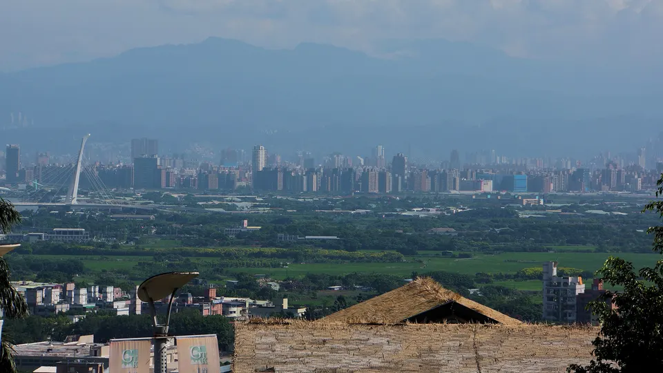
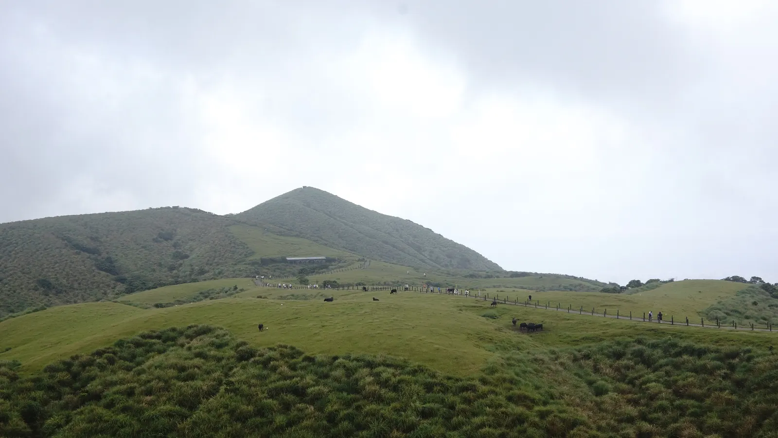
Photo: lienyuan lee, CC BY 3.0, via Wikimedia Commons. Section 1
- MRT Guandu StationMRT捷運關渡站
- Erziping Visitor Station二子坪遊客服務站
- Distance
- 13 km
- Time
- 7–8 hours
- Difficulty
- Hard
MRT at one end
MRT at the start. Mountain bus from the end.
Official description of Section 1 (opens the Taipei City site in a new tab)
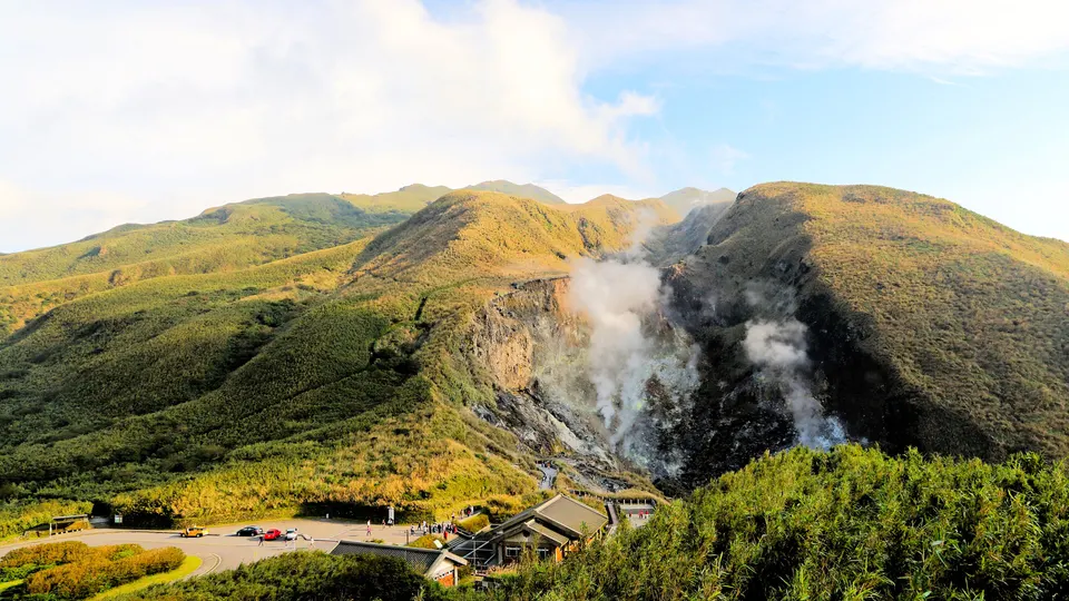
Photo: James CPHuang, CC BY-SA 4.0, via Wikimedia Commons. Section 2
- Miantianping Pavilion面天坪涼亭
- Xiaoyoukeng Visitor Station小油坑遊客服務站
- Distance
- 12 km
- Time
- 6–7 hours
- Difficulty
- Hard
Bus at both ends
The start has no road, so you walk in first.
Official description of Section 2 (opens the Taipei City site in a new tab)
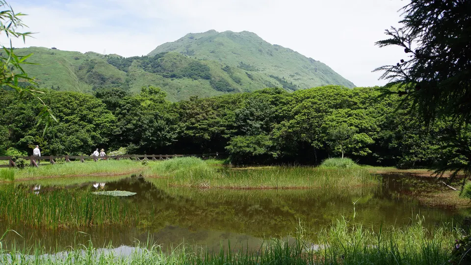
Photo: lienyuan lee, CC BY 3.0, via Wikimedia Commons. Section 3
- Xiaoyoukeng Visitor Station小油坑遊客服務站
- Fengguikou風櫃口
- Distance
- 13 km
- Time
- 7–8 hours
- Difficulty
- Hard
Relies on a rare bus
Mountain bus at the start. Ends at Fengguikou, served only by Minibus M1 (5–6 buses a day).
Official description of Section 3 (opens the Taipei City site in a new tab)
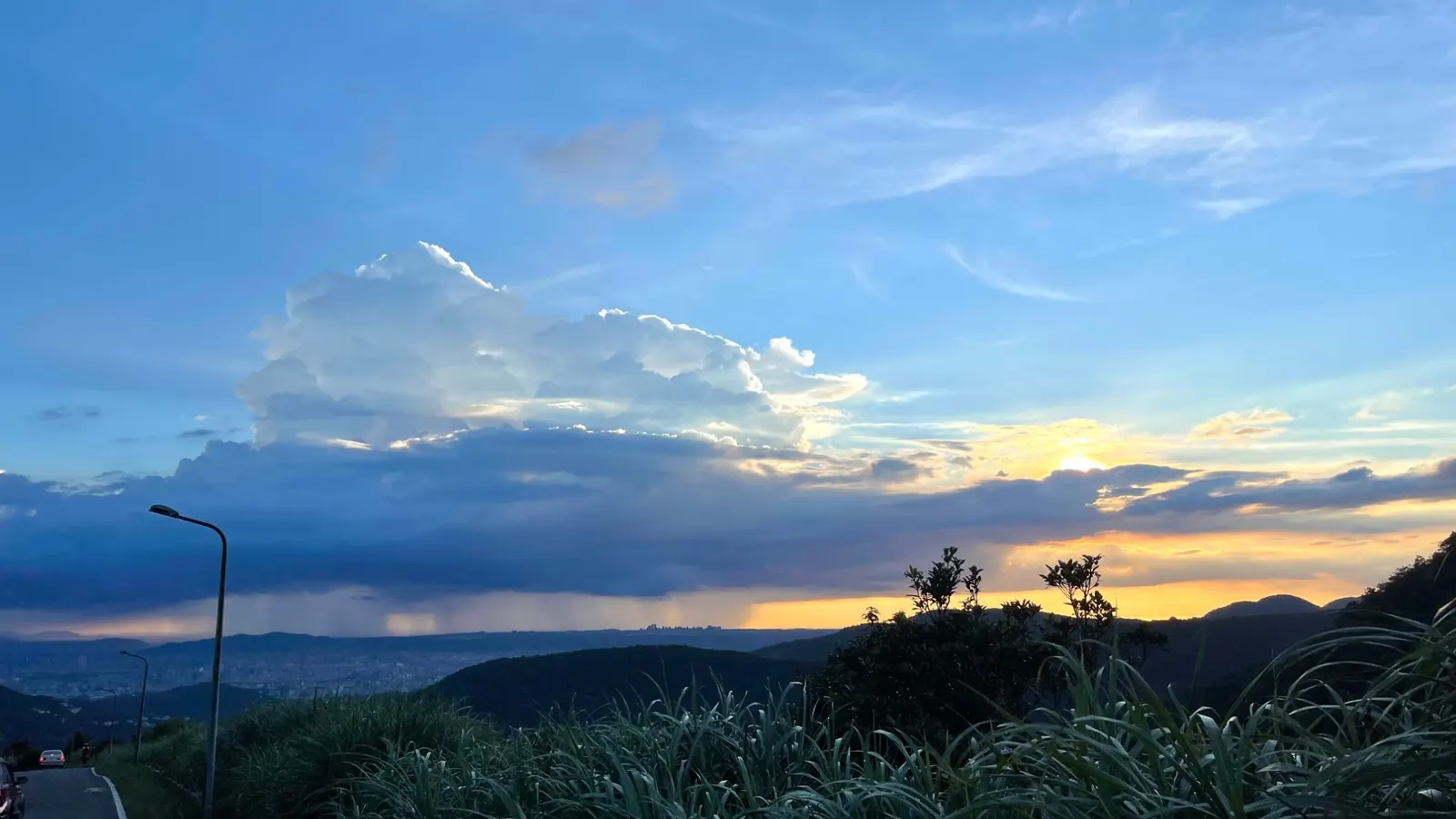
Photo: Ftfishbird, CC BY-SA 4.0, via Wikimedia Commons. Section 4
Full guide- Fengguikou風櫃口
- China University of Science and Technology中華科技大學
- Distance
- 18 km
- Time
- 7–8 hours
- Difficulty
- Moderate
Relies on a rare bus
Starts on Minibus M1 (5–6 buses a day). Most hikers finish at MRT Dahu Park after about 10 km.
Read the full guideOfficial description of Section 4 (opens the Taipei City site in a new tab)
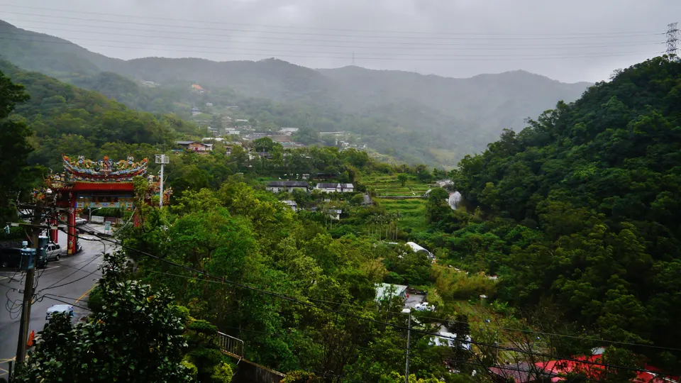
Photo: Zairon, CC BY-SA 4.0, via Wikimedia Commons. Section 5
- MRT Jiantan StationMRT捷運劍潭站
- Bishan Temple碧山巖
- Distance
- 12 km
- Time
- 6–7 hours
- Difficulty
- Easy
MRT at one end
MRT at the start. Bus from Bishan Temple at the end.
Official description of Section 5 (opens the Taipei City site in a new tab)
Section 6
- China University of Science and Technology中華科技大學
- MRT Linguang StationMRT捷運麟光站
- Distance
- 11 km
- Time
- 5–6 hours
- Difficulty
- Moderate
MRT at one end
City bus to the start. MRT at the end.
Official description of Section 6 (opens the Taipei City site in a new tab)
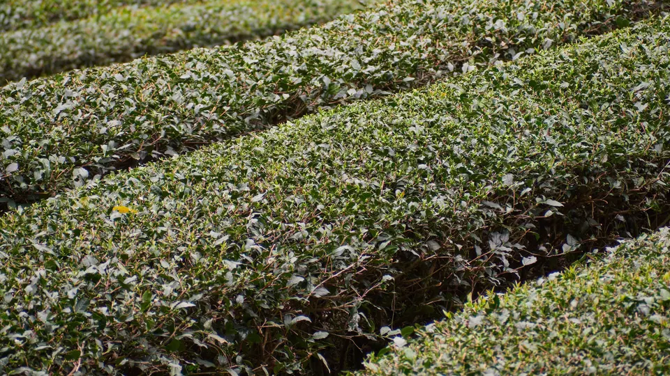
Photo: lumoplank, CC0 1.0, via Wikimedia Commons. Section 7
- Shijie Shanzhuang世界山莊
- NCCU Houshan (Feilong Trail)飛龍步道政大後山
- Distance
- 13 km
- Time
- 5–6 hours
- Difficulty
- Easy
Bus at both ends
The Maokong Gondola crosses the route midway.
Official description of Section 7 (opens the Taipei City site in a new tab)
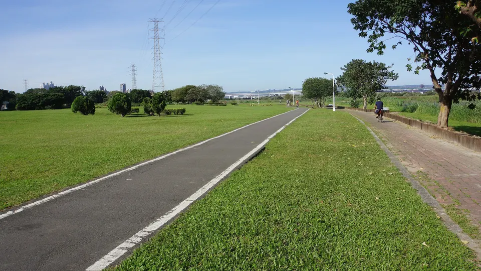
Photo: lienyuan lee, CC BY 3.0, via Wikimedia Commons. Section 8bike path
- MRT Taipei Zoo StationMRT捷運動物園站
- MRT Guandu StationMRT捷運關渡站
- Distance
- 38 km
- Time
- 4–5 hours by bike
- Difficulty
- Easy
MRT at both ends
Riverside bike path; an extended route starts at MRT Jiantan.
Official description of Section 8 (opens the Taipei City site in a new tab)
The completion certificate
Taipei City runs a 2026 certification event (26 Feb – 31 Dec 2026). Complete the challenge and you can claim a certificate plus a towel and badge set, one per person.
There are two ways to prove it: collect the check-in "gems" in the Hiking Biji app (健行筆記), or photograph yourself at the 16 gem signboards and send the photos through a Google Form. You can't mix the two.
The official rules are in English, but the app is Chinese-only. Our Section 4 guide walks through the app screens in English.
Sources
- Start and end points, distances, times and difficulty: the official Taipei Grand Trail sites (English, 中文), read on 2026-11-20. Difficulty is from the Chinese site.
- Transport ratings and "good for" tags are Peakline's estimates from the official start and end points and MRT locations. Bus details for sections without a full guide have not been checked yet.
- Bus data: 交通部 TDX 運輸資料流通服務平臺 (MOTC Transport Data eXchange), Open Government Data License, version 1.0.
- Map: schematic drawn by Peakline, not to scale. Photos: Wikimedia Commons, credited under each photo and in CREDITS.md.